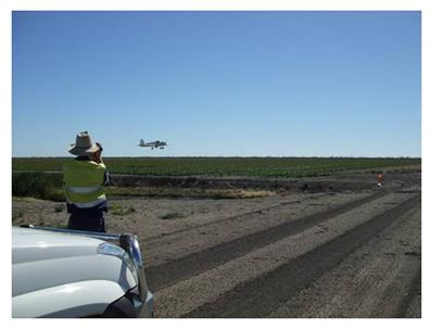
Ultra Low-Level Aircraft
An ultra low-level aircraft carrying an active NIR/Red CropCircleTM sensor was successfully deployed to record and subsequently map crop vigor via the simple ratio (SR) index over a field of sorghum. Given the logging frequency of ≈20 Hz and the presence of alternate rows of bare soil, the Moiré effect reduced the contrast between crop and bare soil skip-rows. Such effects would not be expected to occur in non-skip-row crops.
The ultra low-level airborne (ULLA)-SR map derived from the 20 m transect records compared favorably with the SR map derived from a meter-resolution airborne digital multispectral image that was re-sampled to a similar spatial resolution. This case study, involving a CropCircleTM sensor mounted in a low-level aircraft demonstrates another deployment option for users of this class of sensor.
Moreover, an ULLA configuration offers the potential for greater flexibility in scheduling compared to airborne imaging, given it can be flown at any sun-angle, under cloud, at night, and may easily be incorporated into aircraft already conducting low-level operations, for example crop dusting and reconnaissance, over agricultural fields.