
Spatial Science Research Group
About Us
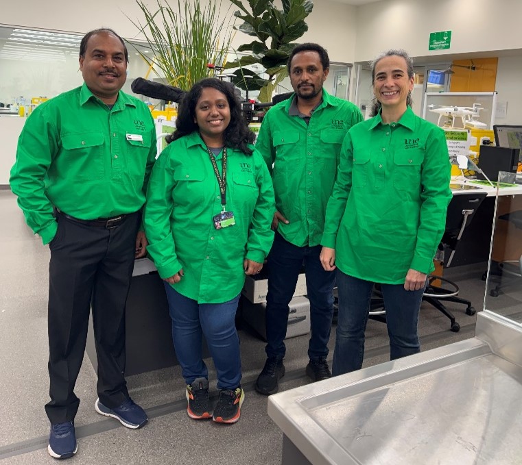
Mapping the Future of Spatial Solutions serves as the guiding vision for our lab, bridging the gap between complex spatial theory and actionable real-world impact. Our expertise is rooted in a robust foundation of Geographic Information Systems (GIS), Remote Sensing, and Spatial Analytics. We combine advanced practical skills in analyzing, visualizing, and synthesizing multi-source spatial data—from satellite imagery and drone-captured signatures to field observations—to support critical decision-making across all scales.
Our applications are as diverse as the landscapes we study, encompassing:
- Environmental Resilience: Climate change, ecology, and wildlife management.
- Sustainable Infrastructure: Renewable energy integration and regional planning.
- Precision Systems: Precision agriculture and AgriSolar optimization.
By integrating cutting-edge Spatial Machine Learning and GeoAI and leveraging Global Climate Models (GCMs) through sophisticated climate downscaling, we translate global environmental shifts into precise, localized insights. Whether modeling resource availability or deconstructing landscape fragmentation, the lab focuses on the intersection of data and place to solve the pressing problems of a changing world.
The Spatial Science Research Group offers opportunities for motivated PhD, Masters, and Honours candidates passionate about using geospatial technology to solve real-world problems. The lab provides a collaborative environment with access to cutting-edge tools in GIS, Remote Sensing, and Spatial Machine Learning, offering both high-level theoretical training and practical field experience. Interested applicants are invited to submit a brief statement of research interests and a current CV to discuss potential projects and scholarship opportunities.
