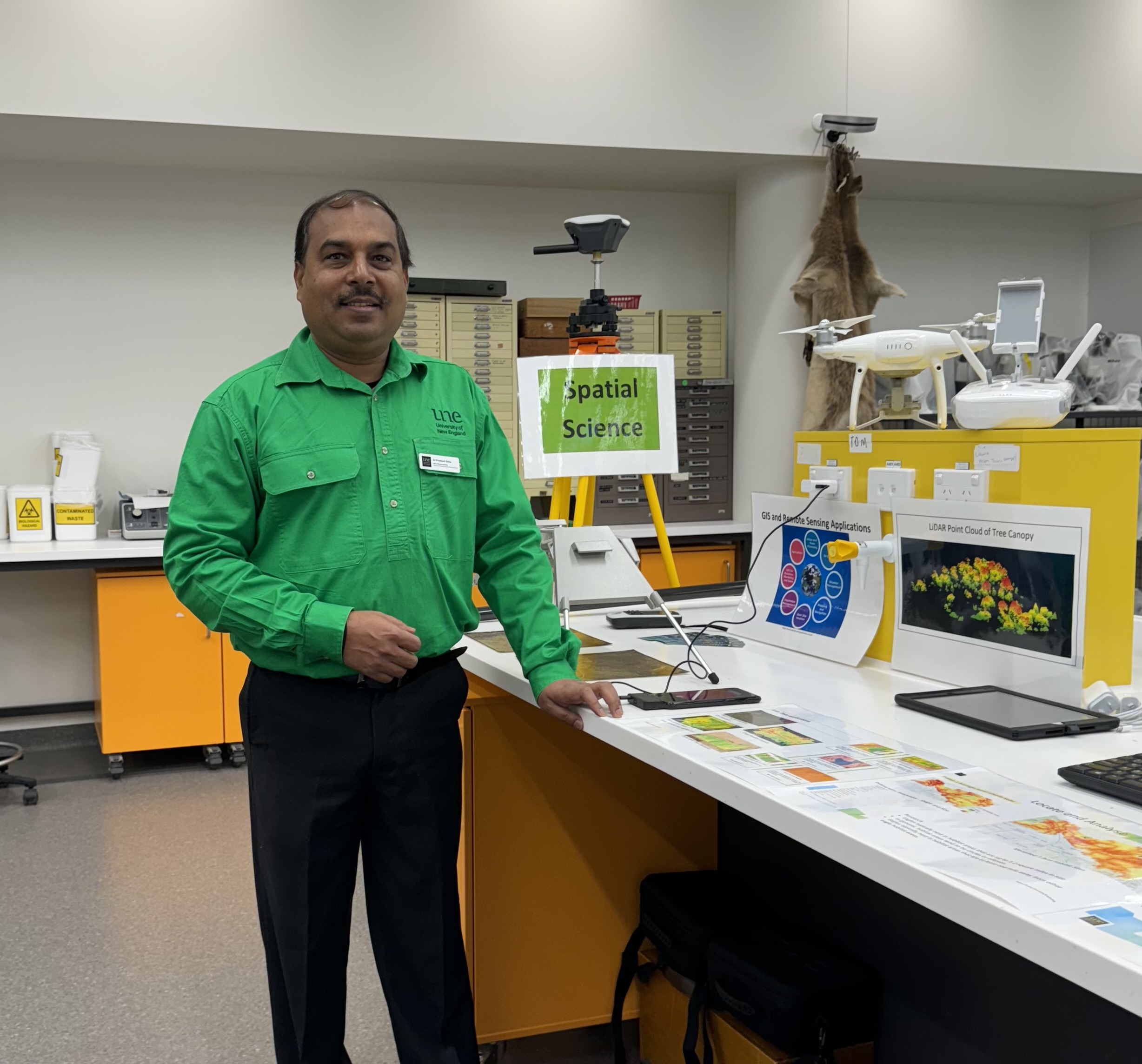
Dr Priyakant Sinha

Lecturer in Spatial Science - Applied Agricultural Remote Sensing Centre; School of Environmental and Rural Science

Priyakant Sinha

Phone: +61 2 6773 3849

Mobile: 0470 369 141

Email: psinha2@une.edu.au

Twitter: @kantpriya

Biography

Dr Priyakant Sinha is a researcher and academic in the field of remote sensing and geospatial science and has more than 20 years of research and project experience in a range of geographic locations (Australia, Ethiopia and India) on diverse themes related to agriculture crops and plantation, pasture, land use and natural landscape. He is highly skilled in remote sensing data analysis for different optical sensors, LiDAR and UAV data analysis, spatial modelling, and has developed new methods for time-series change analysis. His research include advanced  methodologies such as machine learning, Google Earth Engine (GEE), GDAL library usage, WeApp development for remote sensing data analysis and geospatial data processing.
Dr Sinha joined UNE's Precision Agricultural Research Group in 2016 and has since moved to work at the Applied Agricultural Remote Sensing Centre (AARSC) within UNE. He has worked across a range of research projects including: hyperspectral radiometer (ASD) and very high resolution WV3 data to identify and map banana species in Uganda (World Bank funded project); Sugarcane crop vigour and yield mapping at regional and block Level from SPOT/WV3 data for growers in QLD and NSW; High Resolution WV3 data for Mango yield forecasting for Australia Mango Growers; Canola Harvest timing prediction from UAV/Satellite time series data; Habitat suitability modelling for seabirds; habitat connectivity modelling and effective habitat area (EHA) change monitoring from time series remote sensing data; conservattion priorties in thretened eastern Himalayan mammals; and UAV/Drone based next generation high resolution 3D imaging techniques for improved farm management. In past (2012-13), he also worked with NSW Dept. of Environement and Heritage (OEH) and developed GIS raster based multi-criteria analysis shell modelling (MCAS-Model) for spatial Natural Resource Management (NRM) priorities strategies for  Catchment Management Authorities (CMAs) (e.g., Murrumbidgee CMA and Upper and Lower Murray CMAs).
Dr Sinha has more than 10 years of experience in teaching remote sensing and geospatial courses to university students in Australia and Ethiopia and in developing new courses at post-graduation level. In India (2000-03), Dr Sinha was principal GIS and Remote Sensing analyst in the World Bank funded project on Sodic Land Reclamation for improving wheat crop production. He has published several research articles in reputed journals of his field.

Qualifications

PhD in Remote Sensing and GIS application in Vegetation Change Detection - University of New England, Australia (2013)
MS in Environmental Science and Management - University of New England (2018)
M. Tech in Remote Sensing - Birla Institute of Technology, India (1999)

Awards

- UNE International Faculty Award for PhD Research (2009-2012), Australia
- UNE PhD Research Completion Scholarship (2012), Australia
- People choice award for Best Poster in SERS, UNE, Three minute thesis competition (2011), Australia
- First Class (top ranked student) in Master of Technology with Distinction (1999), India
- First Class (top ranked student, all disciplines) in B.Sc. Honours with Distinction, (1995), India
- Best Graduate Award at Vinoba Bhave University, (1995), India
- National Scholarship in H.Sc (Distinction in Physics and Chemistry), (1990), India

Teaching Areas

Lectures and Labs
PA335/435 - Precision Agriculture - T1 (Current)
Hort420 – Remote Sensing applications in Horticulture – T3 (Current)

Extension School - Lab Sessions (past)
EM334/534 - Introduction to GIS
NR331/531 - Remote Sensing and Surveying
EM336-536 - Remote Sensing Image Analysis

Primary Research Area/s

Advanced Agriculture Remote Sensing; GIS; Precision Agriculture

Research Interests

High level multidisciplinary and collaborative research in optical remote sensing and GIS in crop assessment, time-series crop monitoring and yield predictions, crop spatio-temporal nutrient and water management, pasture biomass, vegetation species mapping and change detection, agriculture environmental monitoring and assessment, land use change and prediction modelling, landscape characterization, UAV/Photogrammetry and LiDAR based 3D image analysis, Hyperspectral and GIS modelling.

Research Supervision Experience

Co-supervision
1. Manoj Kumer Ghosh – PhD. (2015-2018). Remote sensing based change detection study of Mangrove forest in Bangladesh
2.  Xavier Daphna– PhD (2014-2018). Remote Sensing and GIS based natural hazard assessment in Philippines

Publications

Scholarly Book Chapter

  1. Sinha, P., Robson, A., Schneider, D., Kilic, T., Mugera, H., Ilukor, J., Tindamanyire, J. The potential of in-situ hyperspectral remote sensing for differentiating 12 banana genotypes grown in Uganda ISPRS Journal of Photogrammetry and Remote Sensing. 2020, 167, 85-103.
  2. Kumar, L., Sinha, P., Brown, J.F., Ramsey, R.D., Rigge, M., Stam, C.A., Hernandez, A.J., Hunt, E.R., and Reeves, M.  (2015). Chapter 13: Characterization, Mapping, and Monitoring of Rangelands: Methods and Approaches. Remote Sensing Handbook Series: Land Resources Monitoring, Modelling, and Mapping with Remote Sensing, Edited by Prasad S. Thenkabail, CRC Press. USA. ISBN 9781482217957 - CAT# K22130


    Refereed Journal Article
  3. Dorji, S., Ratnam, R., Vernes, K., Stephen, W, Falconi, L., and Sinha, P. (2018). Identifying gaps and conservation priorities for eastern Himalayan threatened mammals. Conservation Biology, 32 (5), 1162-1173.
  4. Sinha, P., Lamb, D., and Robson, A. (2018). An assessment of the potential of remote sensing based irrigation scheduling for sugarcane in Australia. ELibrary-Sugarcane Research Australia. (https://elibrary.sugarresearch.com.au/handle/11079/17435)
  5. Albed, A., Kumar, L and Sinha, P. (2017). Soil salinity and vegetation cover change detection from multi-temporal remotely sensed imagery in Al Hassa Oasis in Saudi Arabia. Geocarto International. http://dx.doi.org/10.1080/10106049.2017.1303090.
  6. Sinha, P., Kumar, L., and Reid, N., (2016). Rank-based method for selection of landscape metrics for land cover pattern change detection.  Remote Sensing, 8, 107; doi:10.3390/rs8020107.
  7. Alquarshi, A, Kumar, L., Sinha, P., (2016). Urban land cover change modelling using time-series satellite images: A case study of urban growth in five cities of Saudi Arabia. Remote Sensing, 8(10), 838; doi:10.3390/rs8100838.
  8. Sinha, P., Verma, N.K., Ayele, E. (2016). Urban Built-up Area Extraction and Change Detection of Adama Municipal Area using Time-Series Landsat Images. International Journal of Advanced Remote Sensing and GIS, 5(8), 1886-1895.
  9. Kumar, L., Sinha, P., Taylor, S., and Alquarshi, A. (2015). Use of Remote Sensing for biomass estimation to support renewable energy generation. Journal of Applied Remote Sensing. 9 (1); 097696, doi:10.1117/1.JRS.9.097696.
  10. Sinha, P., Kumar, L., Drielsma, M., and Barrett, T. (2014).Time-series effective habitat area (EHA) modelling using cost-benefit raster based technique. Ecological Informatics, Vol 19, No.1, page 16-25.
  11. Kumar, L., and Sinha, P. (2014). Mapping salt-marsh land-cover vegetation using high-spatial and hyperspectral satellite data to assist wetland inventory. GIScience and Remote Sensing, 51(5), 483-497.
  12. Kumar, L., Sinha, P., and Taylor, S. (2014). Improving image classification in a complex wetland ecosystem through image fusion techniques. Journal of Applied Remote Sensing. 8 (1), 083616-1 (June 11, 2014); doi: 10.1117/1.JRS.8.083616.
  13. Albed, A, Kumar, L., and Sinha, P., (2014). Mapping and Modelling Spatial Variation in Soil Salinity in the Al Hassa Oasis Based on Remote Sensing Indicators and Regression Techniques. Remote Sensing, 6, 1137-1157. doi:10.3390/rs6021137.
  14. Sinha, P., Kumar, L., (2013). Markov land cover change modelling using multiple pairs of time-series satellite images. Photogrammetric Engineering & Remote Sensing, 79(11), 1037-1051.
  15. Sinha, P., Kumar, L., (2013). Independent Two-step Thresholding of Binary Images in Inter-Annual Land Cover Change/No-Change Identification. ISPRS Journal of Photogrammetry and Remote Sensing, 81(7), 31-43.
  16. Sinha, P., Kumar, L., (2013). Binary images in seasonal land-cover change identification: a comparative study in parts of NSW, Australia. International Journal of Remote Sensing, 34(6), 2162-2186.
  17. Sinha, P., Kumar, L., and Reid, N., (2012) Seasonal variation in landcover classification accuracy in diverse region, Photogrammetric Engineering & Remote Sensing, 78(3), 781-780.
  18. Sinha, P., Kumar, L., and Reid, N., (2012). Three-date Landsat TM composite in seasonal land-cover change identification in a mid-latitudinal region of diverse climate and land-use. Journal of Applied Remote Sensing. 6 (1), 063595 (October 30, 2012); doi: 10.1117/1.JRS.6.063595.
  19. Sinha, P., Kumar, L. (2012) A new technique for seasonal land-cover change analysis using directional brightness differencing. GSTF Journal of Engineering Technology, 1(1): 61-66. DOI:10.5176/2251-3701_1.1.11.
  20. Sinha, P (Priyakant), Verma, N.K., Rao., L.I.M., and Mathur, A. (2009). Surface Approximation of Point Data using different Interpolation Techniques- A GIS based approach. Geospatial World. (published online: September 1, 2009, http://www.geospatialworld.net/article/surface-approximation-of-point-data-using-different-interpolation-techniques-a-gis-approach/
  21. Mathur, A., Sinha, P. (2005). GIS Based delineation of suitable Ground Water Quality zones for drinking purpose: A case study of District Mainpuri, Uttar Pradesh, Pollution Research, Enviromedia. 24 (1): 59-68. 21.
  22. Sinha, P., Kanade G.S., Deshpande, A. and Kondawar, V.K. (2001). Geographical Information System for complete environmental study in context of mining: a case study. Journal of Indian Association of Environment Management. 28(2): 109-112.

Clinical Skills and Experience

Advanced Digital image processing (pixel, object based), GIS analysis and modelling, UAV/ LiDAR and Hyperspectral data processing. Software: ENVI, Erdas Imagine, ArcGIS, QGIS, eCognition, Pix4D, PhotoScan, GDAL Python scripts usage.

Memberships

Life membership of Indian Society of Remote Sensing (since 1999)

Consultancy Interests

Remote Sensing/Photogrammetry and GIS applications in Agriculture landscape management, Environmental Monitoring research, Climate Change Impact on Agriculture Productivity, Prediction Modelling, land use change.